Bridleway into Riverside Country Park
Introduction
The photograph on this page of Bridleway into Riverside Country Park by David Anstiss as part of the Geograph project.
The Geograph project started in 2005 with the aim of publishing, organising and preserving representative images for every square kilometre of Great Britain, Ireland and the Isle of Man.

There are currently over 7.5m images from over 14,400 individuals and you can help contribute to the project by visiting https://www.geograph.org.uk
Bridleway into Riverside Country Park
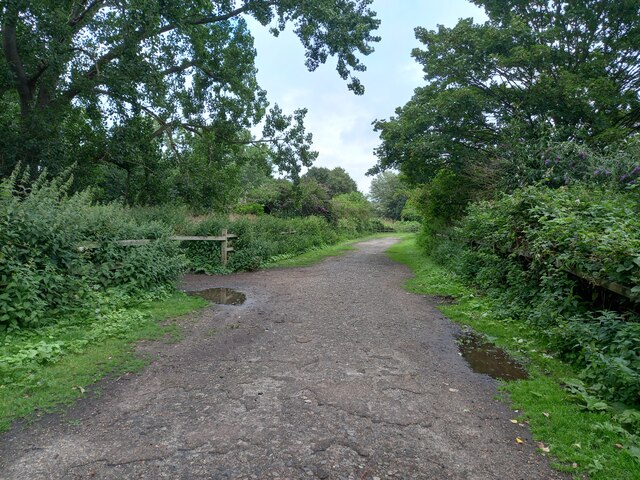
Image: © David Anstiss Taken: 7 Aug 2021
This track leads from Lower Rainham Road, through a former orchard and farmland beside the River Medway, it then completes a twists through the park and back out to the track. It crosses permissive footpaths and other bridleway trails (seen on the left) that also loop in the park.
Images are licensed for reuse under creativecommons.org/licenses/by-sa/2.0
Image Location
Latitude
51.38828
Longitude
0.588468