The County Boundary
Introduction
The photograph on this page of The County Boundary by michael ely as part of the Geograph project.
The Geograph project started in 2005 with the aim of publishing, organising and preserving representative images for every square kilometre of Great Britain, Ireland and the Isle of Man.

There are currently over 7.5m images from over 14,400 individuals and you can help contribute to the project by visiting https://www.geograph.org.uk
The County Boundary
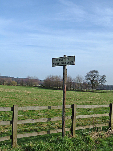
Image: © michael ely Taken: 9 Feb 2008
Entering North Yorkshire from West Yorkshire on Denton Road near Denton Bridge between Ilkley and Otley. Here the boundary crosses the road to follow the River Wharfe to the outskirts of Otley. Ilkley and Otley are both in West Yorkshire.
Images are licensed for reuse under creativecommons.org/licenses/by-sa/2.0
Image Location
Latitude
53.92976
Longitude
-1.798933