Sunderland Terrace, Dartmouth
Introduction
The photograph on this page of Sunderland Terrace, Dartmouth by Derek Harper as part of the Geograph project.
The Geograph project started in 2005 with the aim of publishing, organising and preserving representative images for every square kilometre of Great Britain, Ireland and the Isle of Man.

There are currently over 7.5m images from over 14,400 individuals and you can help contribute to the project by visiting https://www.geograph.org.uk
Sunderland Terrace, Dartmouth
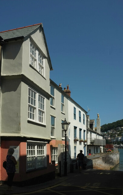
Image: © Derek Harper Taken: 4 Aug 2021
The row faces the lower ferry slipway, and some of the buildings also appear in Image and Image; see also Image The houses are all listed; from left to right https://historicengland.org.uk/listing/the-list/list-entry/1197583 , https://historicengland.org.uk/listing/the-list/list-entry/1292222 and https://historicengland.org.uk/listing/the-list/list-entry/1197584 .
Images are licensed for reuse under creativecommons.org/licenses/by-sa/2.0
Image Location
Latitude
50.349013
Longitude
-3.577658