"Government Buildings"
Introduction
The photograph on this page of "Government Buildings" by Alan Murray-Rust as part of the Geograph project.
The Geograph project started in 2005 with the aim of publishing, organising and preserving representative images for every square kilometre of Great Britain, Ireland and the Isle of Man.

There are currently over 7.5m images from over 14,400 individuals and you can help contribute to the project by visiting https://www.geograph.org.uk
"Government Buildings"
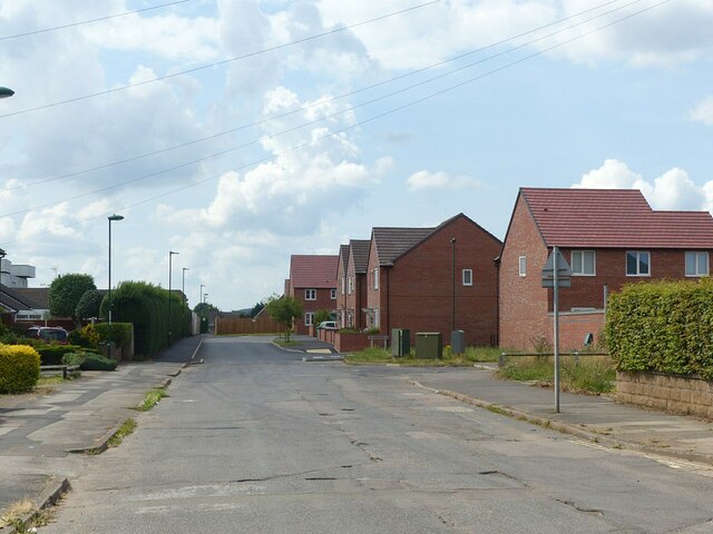
Image: © Alan Murray-Rust Taken: 3 Aug 2021
Recreating this 'First' for the square https://www.geograph.org.uk/photo/51212 . The Government Buildings were vacated around 2010 and have been replaced by new housing.
Images are licensed for reuse under creativecommons.org/licenses/by-sa/2.0
Image Location
Latitude
52.963378
Longitude
-1.196457