Ridgmont Road viewed from Mill Road
Introduction
The photograph on this page of Ridgmont Road viewed from Mill Road by Mark Anderson as part of the Geograph project.
The Geograph project started in 2005 with the aim of publishing, organising and preserving representative images for every square kilometre of Great Britain, Ireland and the Isle of Man.

There are currently over 7.5m images from over 14,400 individuals and you can help contribute to the project by visiting https://www.geograph.org.uk
Ridgmont Road viewed from Mill Road
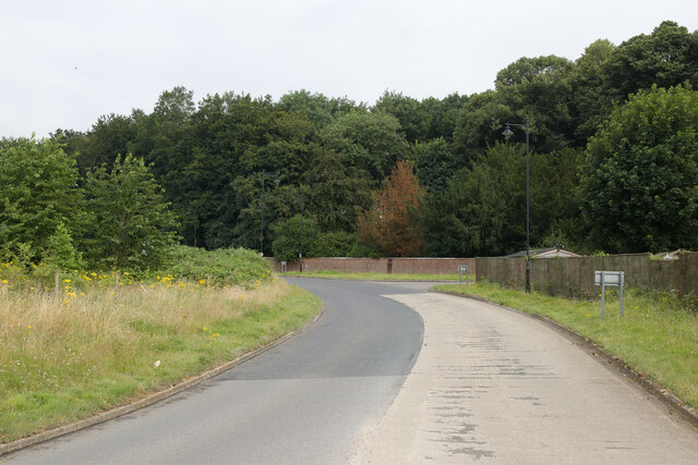
Image: © Mark Anderson Taken: 25 Jul 2021
The course of Ridgmont Road was diverted to join a roundabout on Mill Road where I am standing. The original course continued out of shot to the right, near some houses.
Images are licensed for reuse under creativecommons.org/licenses/by-sa/2.0
Image Location
Latitude
52.011486
Longitude
-0.599177