Fairlawn Drive
Introduction
The photograph on this page of Fairlawn Drive by Ian Capper as part of the Geograph project.
The Geograph project started in 2005 with the aim of publishing, organising and preserving representative images for every square kilometre of Great Britain, Ireland and the Isle of Man.

There are currently over 7.5m images from over 14,400 individuals and you can help contribute to the project by visiting https://www.geograph.org.uk
Fairlawn Drive
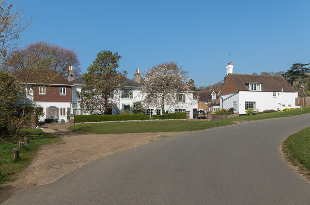
Image: © Ian Capper Taken: 19 Apr 2021
Cul-de-sac off Pendleton Road. Most of the road was developed in the c.1950s/60s, but this range, the original Fairlawn and associated buildings, is much earlier, dating from the 19th Century with Fairlawn Cottage, partially hidden behind the building on the right, being even earlier, dating from at least the mid 18th Century.
Images are licensed for reuse under creativecommons.org/licenses/by-sa/2.0
Image Location
Latitude
51.228634
Longitude
-0.18084