Upper Bilham Farmhouse
Introduction
The photograph on this page of Upper Bilham Farmhouse by John Baker as part of the Geograph project.
The Geograph project started in 2005 with the aim of publishing, organising and preserving representative images for every square kilometre of Great Britain, Ireland and the Isle of Man.

There are currently over 7.5m images from over 14,400 individuals and you can help contribute to the project by visiting https://www.geograph.org.uk
Upper Bilham Farmhouse
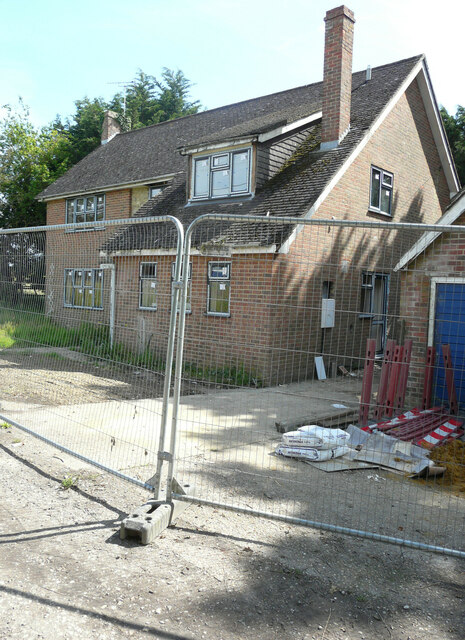
Image: © John Baker Taken: 11 Jul 2021
The house is undergoing renovation, as new windows have been installed.
Images are licensed for reuse under creativecommons.org/licenses/by-sa/2.0
Image Location
Latitude
51.115155
Longitude
0.890828