Bog Shaw
Introduction
The photograph on this page of Bog Shaw by Simon Carey as part of the Geograph project.
The Geograph project started in 2005 with the aim of publishing, organising and preserving representative images for every square kilometre of Great Britain, Ireland and the Isle of Man.

There are currently over 7.5m images from over 14,400 individuals and you can help contribute to the project by visiting https://www.geograph.org.uk
Bog Shaw
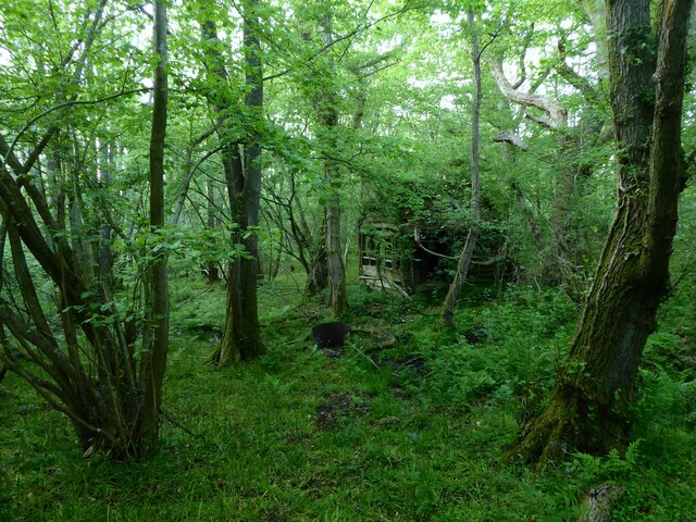
Image: © Simon Carey Taken: 5 Jun 2021
With the remains of an old hut just visible through the undergrowth.
Images are licensed for reuse under creativecommons.org/licenses/by-sa/2.0
Image Location
Latitude
51.096331
Longitude
0.12507