Weir on the lade
Introduction
The photograph on this page of Weir on the lade by Richard Sutcliffe as part of the Geograph project.
The Geograph project started in 2005 with the aim of publishing, organising and preserving representative images for every square kilometre of Great Britain, Ireland and the Isle of Man.

There are currently over 7.5m images from over 14,400 individuals and you can help contribute to the project by visiting https://www.geograph.org.uk
Weir on the lade
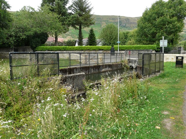
Image: © Richard Sutcliffe Taken: 29 Jul 2021
A small weir on the lade leading to Whitefield Pond. The water has just come through a culvert under Crosshill Street and drops down slightly to then flow into the pond, which is about 100m to the southwest.
Images are licensed for reuse under creativecommons.org/licenses/by-sa/2.0
Image Location
Latitude
55.977494
Longitude
-4.204297