B2165 heading north from Cripp's Corner
Introduction
The photograph on this page of B2165 heading north from Cripp's Corner by Patrick Roper as part of the Geograph project.
The Geograph project started in 2005 with the aim of publishing, organising and preserving representative images for every square kilometre of Great Britain, Ireland and the Isle of Man.

There are currently over 7.5m images from over 14,400 individuals and you can help contribute to the project by visiting https://www.geograph.org.uk
B2165 heading north from Cripp's Corner
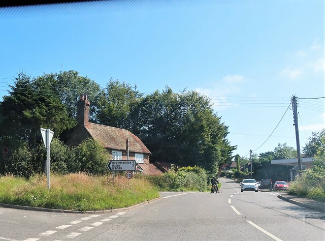
Image: © Patrick Roper Taken: 16 Jul 2021
The turning on the left is the B2089. The same road is on the right of the picture by the red car. The house is Forge Cottage.
Images are licensed for reuse under creativecommons.org/licenses/by-sa/2.0
Image Location
Latitude
50.962797
Longitude
0.530132