Paths, Tweedbank
Introduction
The photograph on this page of Paths, Tweedbank by Richard Webb as part of the Geograph project.
The Geograph project started in 2005 with the aim of publishing, organising and preserving representative images for every square kilometre of Great Britain, Ireland and the Isle of Man.

There are currently over 7.5m images from over 14,400 individuals and you can help contribute to the project by visiting https://www.geograph.org.uk
Paths, Tweedbank
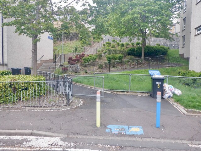
Image: © Richard Webb Taken: 23 May 2021
Climbing to Honeylees Drive from Cotgreen Road. The pencils and road safety message is an indication that a school is nearby.
Images are licensed for reuse under creativecommons.org/licenses/by-sa/2.0
Image Location
Latitude
55.604498
Longitude
-2.767062