Ashley Lane, Hendon
Introduction
The photograph on this page of Ashley Lane, Hendon by David Howard as part of the Geograph project.
The Geograph project started in 2005 with the aim of publishing, organising and preserving representative images for every square kilometre of Great Britain, Ireland and the Isle of Man.

There are currently over 7.5m images from over 14,400 individuals and you can help contribute to the project by visiting https://www.geograph.org.uk
Ashley Lane, Hendon
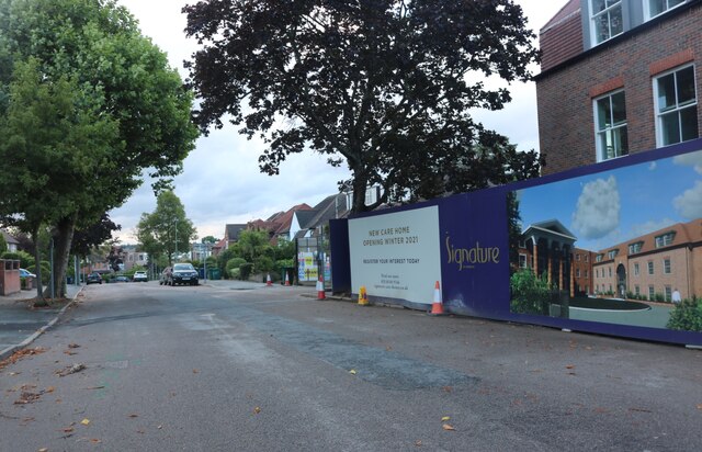
Image: © David Howard Taken: 28 Jul 2021
The old Hendon Hall Hotel is on the right, which has been partially demolished to a care home.
Images are licensed for reuse under creativecommons.org/licenses/by-sa/2.0
Image Location
Latitude
51.594342
Longitude
-0.219353