Gypsy Lane at the junction of Pepper Hill
Introduction
The photograph on this page of Gypsy Lane at the junction of Pepper Hill by David Howard as part of the Geograph project.
The Geograph project started in 2005 with the aim of publishing, organising and preserving representative images for every square kilometre of Great Britain, Ireland and the Isle of Man.

There are currently over 7.5m images from over 14,400 individuals and you can help contribute to the project by visiting https://www.geograph.org.uk
Gypsy Lane at the junction of Pepper Hill
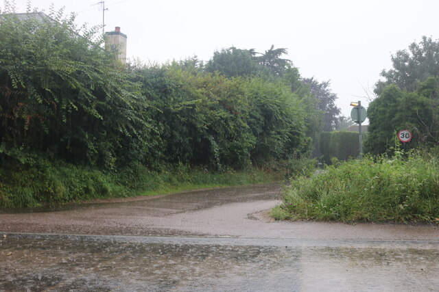
Image: © David Howard Taken: 25 Jul 2021
Many of the local roads were up to a foot deep in water
Images are licensed for reuse under creativecommons.org/licenses/by-sa/2.0
Image Location
Latitude
51.790268
Longitude
-0.016328