Ellingstring, farmhouse in village
Introduction
The photograph on this page of Ellingstring, farmhouse in village by Mel Towler as part of the Geograph project.
The Geograph project started in 2005 with the aim of publishing, organising and preserving representative images for every square kilometre of Great Britain, Ireland and the Isle of Man.

There are currently over 7.5m images from over 14,400 individuals and you can help contribute to the project by visiting https://www.geograph.org.uk
Ellingstring, farmhouse in village
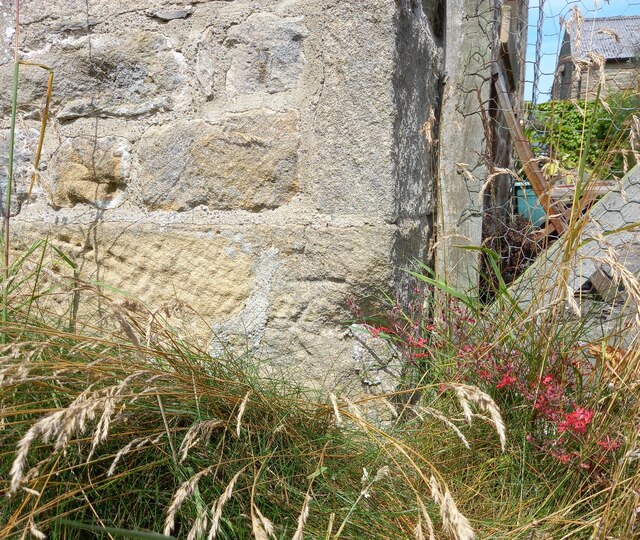
Image: © Mel Towler Taken: 19 Jul 2021
This farmhouse is on the northern side of the road which runs through the village. On the right hand, lowest course of stone there is a benchmark which is slightly worn.
Images are licensed for reuse under creativecommons.org/licenses/by-sa/2.0
Image Location
Latitude
54.249137
Longitude
-1.732161