Crossroads, Bridgetown
Introduction
The photograph on this page of Crossroads, Bridgetown by Derek Harper as part of the Geograph project.
The Geograph project started in 2005 with the aim of publishing, organising and preserving representative images for every square kilometre of Great Britain, Ireland and the Isle of Man.

There are currently over 7.5m images from over 14,400 individuals and you can help contribute to the project by visiting https://www.geograph.org.uk
Crossroads, Bridgetown
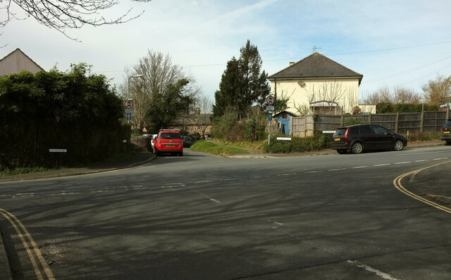
Image: © Derek Harper Taken: 17 Mar 2021
Weston Lane gives way as it crosses Pathfields (left) / Westonfields (right) and becomes a one-way street with access only for vehicles.
Images are licensed for reuse under creativecommons.org/licenses/by-sa/2.0
Image Location
Latitude
50.429117
Longitude
-3.676344