Elevated ring road
Introduction
The photograph on this page of Elevated ring road by Dennis Turner as part of the Geograph project.
The Geograph project started in 2005 with the aim of publishing, organising and preserving representative images for every square kilometre of Great Britain, Ireland and the Isle of Man.

There are currently over 7.5m images from over 14,400 individuals and you can help contribute to the project by visiting https://www.geograph.org.uk
Elevated ring road
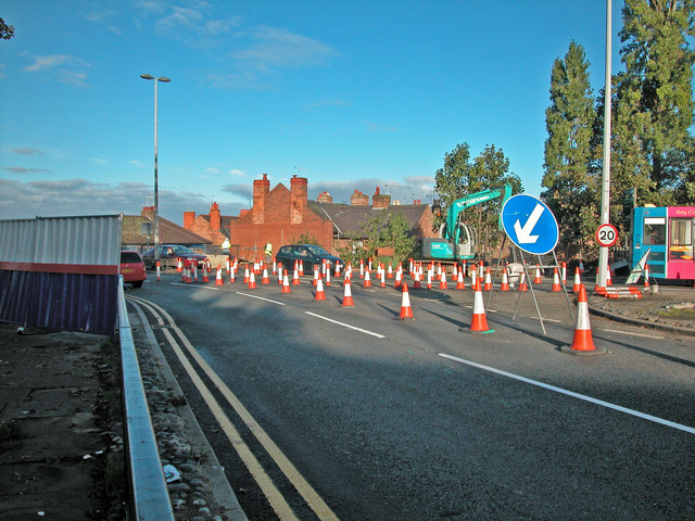
Image: © Dennis Turner Taken: 13 Oct 2005
The start of road works to strengthen parts of the elevated section of the City's inner ring road. Although originally scheduled to take only a few months version three of the road works has only recently been completed.
Images are licensed for reuse under creativecommons.org/licenses/by-sa/2.0
Image Location
Latitude
53.194915
Longitude
-2.895049