Temporary access to Fife Way
Introduction
The photograph on this page of Temporary access to Fife Way by John Baker as part of the Geograph project.
The Geograph project started in 2005 with the aim of publishing, organising and preserving representative images for every square kilometre of Great Britain, Ireland and the Isle of Man.

There are currently over 7.5m images from over 14,400 individuals and you can help contribute to the project by visiting https://www.geograph.org.uk
Temporary access to Fife Way
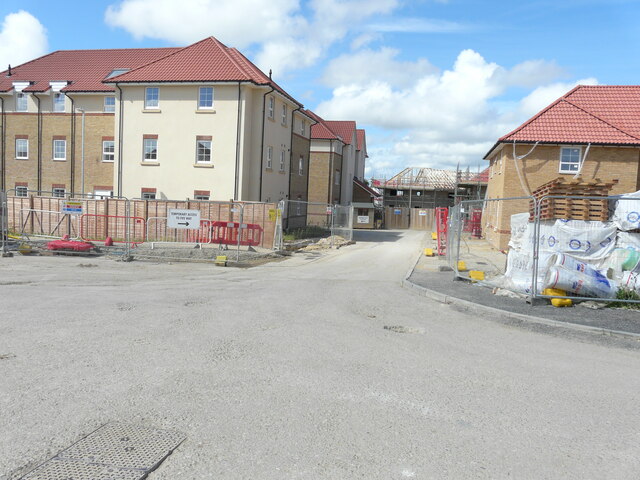
Image: © John Baker Taken: 4 Jul 2021
There is a noticeboard, with this information about access, affixed to a shed, at the bend in the road. The development is part of the Aylesham Garden Village project http://www.ayleshamgardenvillage.co.uk/ The road has since been named Matlock Close.
Images are licensed for reuse under creativecommons.org/licenses/by-sa/2.0
Image Location
Latitude
51.227969
Longitude
1.194145