Site of Newdigate Colliery, looking towards Arbury Lane and modern housing beyond
Introduction
The photograph on this page of Site of Newdigate Colliery, looking towards Arbury Lane and modern housing beyond by A J Paxton as part of the Geograph project.
The Geograph project started in 2005 with the aim of publishing, organising and preserving representative images for every square kilometre of Great Britain, Ireland and the Isle of Man.

There are currently over 7.5m images from over 14,400 individuals and you can help contribute to the project by visiting https://www.geograph.org.uk
Site of Newdigate Colliery, looking towards Arbury Lane and modern housing beyond
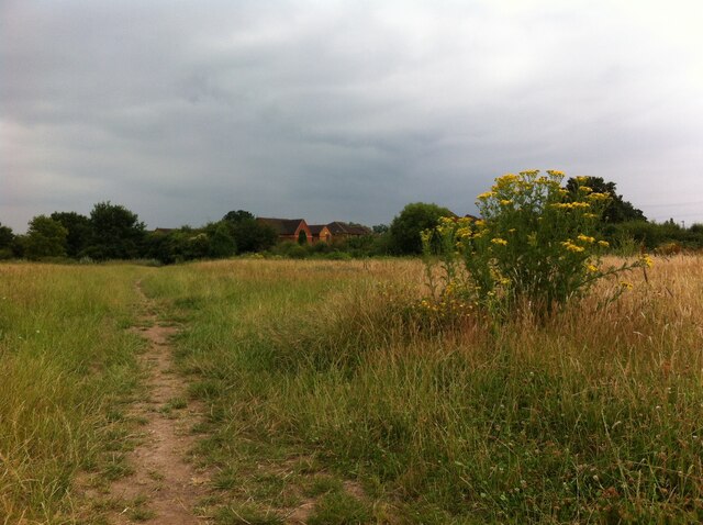
Image: © A J Paxton Taken: 25 Jul 2021
Newdigate Colliery closed in 1982 and almost all traces of it have been removed. The photo shows the view from what would have been the south side of the main colliery buildings along the approach road from Astley Lane. More housing has been proposed for this site.
Images are licensed for reuse under creativecommons.org/licenses/by-sa/2.0
Image Location
Latitude
52.478015
Longitude
-1.508192