Entrance to Clarence Graving Dock No. 1
Introduction
The photograph on this page of Entrance to Clarence Graving Dock No. 1 by Christine Johnstone as part of the Geograph project.
The Geograph project started in 2005 with the aim of publishing, organising and preserving representative images for every square kilometre of Great Britain, Ireland and the Isle of Man.

There are currently over 7.5m images from over 14,400 individuals and you can help contribute to the project by visiting https://www.geograph.org.uk
Entrance to Clarence Graving Dock No. 1
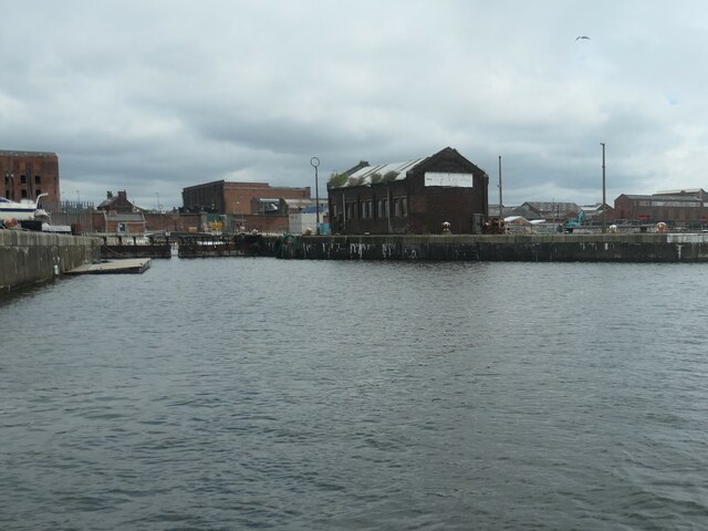
Image: © Christine Johnstone Taken: 26 May 2021
From what was Clarence Graving Dock Basin, but is now part of Trafalgar Dock. Since 2009 the dock in the foreground is part of the Liverpool Canal Link, which takes canal boats from the Leeds & Liverpool Canal past Pier Head and through to Salthouse Dock. A graving dock is an uncovered, permanent dry dock, where boats can be maintained or repaired.
Images are licensed for reuse under creativecommons.org/licenses/by-sa/2.0
Image Location
Latitude
53.420402
Longitude
-3.002855