Bookham Road
Introduction
The photograph on this page of Bookham Road by James Emmans as part of the Geograph project.
The Geograph project started in 2005 with the aim of publishing, organising and preserving representative images for every square kilometre of Great Britain, Ireland and the Isle of Man.

There are currently over 7.5m images from over 14,400 individuals and you can help contribute to the project by visiting https://www.geograph.org.uk
Bookham Road
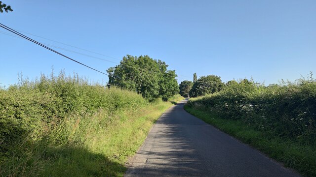
Image: © James Emmans Taken: 17 Jul 2021
Rural road that leads to Little Bookham Common. It goes under the M25 and the New Guildford Railway (1885).
Images are licensed for reuse under creativecommons.org/licenses/by-sa/2.0
Image Location
Latitude
51.308627
Longitude
-0.404901