Overfield Drive in Sedgmoor Park in Wolverhampton
Introduction
The photograph on this page of Overfield Drive in Sedgmoor Park in Wolverhampton by Roger Kidd as part of the Geograph project.
The Geograph project started in 2005 with the aim of publishing, organising and preserving representative images for every square kilometre of Great Britain, Ireland and the Isle of Man.

There are currently over 7.5m images from over 14,400 individuals and you can help contribute to the project by visiting https://www.geograph.org.uk
Overfield Drive in Sedgmoor Park in Wolverhampton
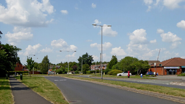
Image: © Roger Kidd Taken: 20 Jul 2021
Looking north-west from near the A463 Black Country Route. The Elisabeth Arms is off to the right. The area was formerly covered with coal pits including the Spring Vale Colliery, which closed in 1890.
Images are licensed for reuse under creativecommons.org/licenses/by-sa/2.0
Image Location
Latitude
52.554244
Longitude
-2.094645