The B1416
Introduction
The photograph on this page of The B1416 by Malcolm Neal as part of the Geograph project.
The Geograph project started in 2005 with the aim of publishing, organising and preserving representative images for every square kilometre of Great Britain, Ireland and the Isle of Man.

There are currently over 7.5m images from over 14,400 individuals and you can help contribute to the project by visiting https://www.geograph.org.uk
The B1416
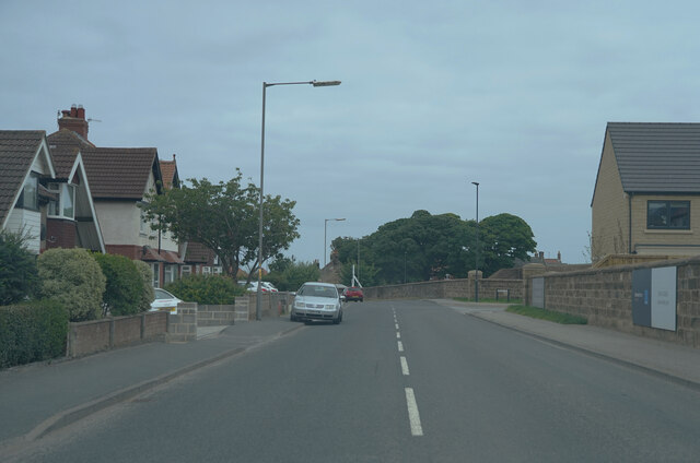
Image: © Malcolm Neal Taken: 24 Jul 2021
We are now travelling along a more minor B class road as we enter Whitby proper.
Images are licensed for reuse under creativecommons.org/licenses/by-sa/2.0
Image Location
Latitude
54.484137
Longitude
-0.637184