Coach Road
Introduction
The photograph on this page of Coach Road by Malcolm Neal as part of the Geograph project.
The Geograph project started in 2005 with the aim of publishing, organising and preserving representative images for every square kilometre of Great Britain, Ireland and the Isle of Man.

There are currently over 7.5m images from over 14,400 individuals and you can help contribute to the project by visiting https://www.geograph.org.uk
Coach Road
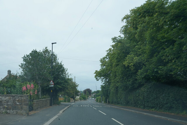
Image: © Malcolm Neal Taken: 24 Jul 2021
Travelling along the western side of Sleights on the A169 as we drive towrds Whitby.
Images are licensed for reuse under creativecommons.org/licenses/by-sa/2.0
Image Location
Latitude
54.452547
Longitude
-0.665534