Farmhouse, Higher Weston
Introduction
The photograph on this page of Farmhouse, Higher Weston by Derek Harper as part of the Geograph project.
The Geograph project started in 2005 with the aim of publishing, organising and preserving representative images for every square kilometre of Great Britain, Ireland and the Isle of Man.

There are currently over 7.5m images from over 14,400 individuals and you can help contribute to the project by visiting https://www.geograph.org.uk
Farmhouse, Higher Weston
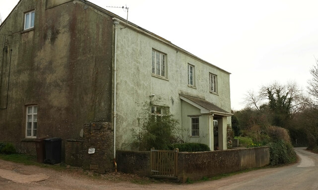
Image: © Derek Harper Taken: 17 Mar 2021
Farms still remain in this outer fringe of Totnes, though they are being swallowed up by the suburbs.
Images are licensed for reuse under creativecommons.org/licenses/by-sa/2.0
Image Location
Latitude
50.428355
Longitude
-3.666743