Priory Dumbles, at Thurgarton
Introduction
The photograph on this page of Priory Dumbles, at Thurgarton by Alan Murray-Rust as part of the Geograph project.
The Geograph project started in 2005 with the aim of publishing, organising and preserving representative images for every square kilometre of Great Britain, Ireland and the Isle of Man.

There are currently over 7.5m images from over 14,400 individuals and you can help contribute to the project by visiting https://www.geograph.org.uk
Priory Dumbles, at Thurgarton
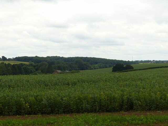
Image: © Alan Murray-Rust Taken: 15 Jul 2021
Recreating this 'First' for the square https://www.geograph.org.uk/photo/38961 although not from quite the same location. My view was limited by the well-grown hedge along this section of the bridleway.
Images are licensed for reuse under creativecommons.org/licenses/by-sa/2.0
Image Location
Latitude
53.036503
Longitude
-0.979002