Overfield Drive in Sedgemoor Park, Wolverhampton
Introduction
The photograph on this page of Overfield Drive in Sedgemoor Park, Wolverhampton by Roger Kidd as part of the Geograph project.
The Geograph project started in 2005 with the aim of publishing, organising and preserving representative images for every square kilometre of Great Britain, Ireland and the Isle of Man.

There are currently over 7.5m images from over 14,400 individuals and you can help contribute to the project by visiting https://www.geograph.org.uk
Overfield Drive in Sedgemoor Park, Wolverhampton
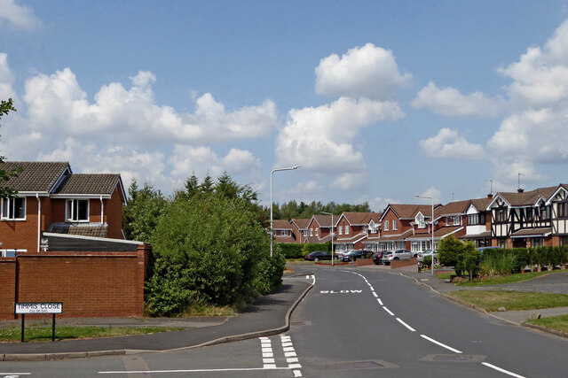
Image: © Roger Kidd Taken: 20 Jul 2021
Looking north by Timmis Close (cul-de-sac). Overfield Drive is a circular route (anticlockwise in this direction), rejoining itself at the roundabout junction behind the camera. The estate has been built on the site of the former Spring Vale colliery.
Images are licensed for reuse under creativecommons.org/licenses/by-sa/2.0
Image Location
Latitude
52.555322
Longitude
-2.095532