Path up to the A51 Nantwich Road
Introduction
The photograph on this page of Path up to the A51 Nantwich Road by Mat Fascione as part of the Geograph project.
The Geograph project started in 2005 with the aim of publishing, organising and preserving representative images for every square kilometre of Great Britain, Ireland and the Isle of Man.

There are currently over 7.5m images from over 14,400 individuals and you can help contribute to the project by visiting https://www.geograph.org.uk
Path up to the A51 Nantwich Road
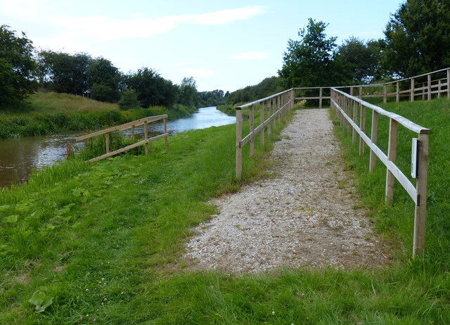
Image: © Mat Fascione Taken: 6 Jul 2019
Next to Wardle Farm Bridge No 102.
Images are licensed for reuse under creativecommons.org/licenses/by-sa/2.0
Image Location
Latitude
53.113133
Longitude
-2.589175