Direction Sign ? Signpost in Woodham Walter
Introduction
The photograph on this page of Direction Sign ? Signpost in Woodham Walter by John V Nicholls as part of the Geograph project.
The Geograph project started in 2005 with the aim of publishing, organising and preserving representative images for every square kilometre of Great Britain, Ireland and the Isle of Man.

There are currently over 7.5m images from over 14,400 individuals and you can help contribute to the project by visiting https://www.geograph.org.uk
Direction Sign ? Signpost in Woodham Walter
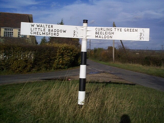
Image: © John V Nicholls Taken: 31 Oct 2002
Located on a grass triangle in the centre of the junction of Blue Mill Lane, Curling Tye Lane and Hop Garden Lane in Woodham Walter parish. 2 arms and missing finial. See also https://www.geograph.org.uk/photo/5880154. Milestone Society National ID: EX_TL8107
Images are licensed for reuse under creativecommons.org/licenses/by-sa/2.0
Image Location
Latitude
51.736207
Longitude
0.630253