Housing and farmland in Stone, Staffordshire
Introduction
The photograph on this page of Housing and farmland in Stone, Staffordshire by Roger Kidd as part of the Geograph project.
The Geograph project started in 2005 with the aim of publishing, organising and preserving representative images for every square kilometre of Great Britain, Ireland and the Isle of Man.

There are currently over 7.5m images from over 14,400 individuals and you can help contribute to the project by visiting https://www.geograph.org.uk
Housing and farmland in Stone, Staffordshire
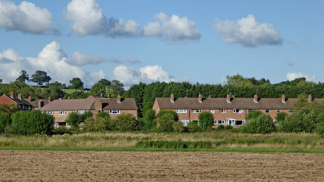
Image: © Roger Kidd Taken: 29 Jul 2015
A telephoto assisted image, looking east towards Willow Road houses (250 metres away) from the southern edge of Westbridge Park. The Trent and Mersey Canal crosses the scene along the line of trees in front of the housing.
Images are licensed for reuse under creativecommons.org/licenses/by-sa/2.0
Image Location
Latitude
52.897241
Longitude
-2.140434