Farmland near Blaencwrt
Introduction
The photograph on this page of Farmland near Blaencwrt by Philip Halling as part of the Geograph project.
The Geograph project started in 2005 with the aim of publishing, organising and preserving representative images for every square kilometre of Great Britain, Ireland and the Isle of Man.

There are currently over 7.5m images from over 14,400 individuals and you can help contribute to the project by visiting https://www.geograph.org.uk
Farmland near Blaencwrt
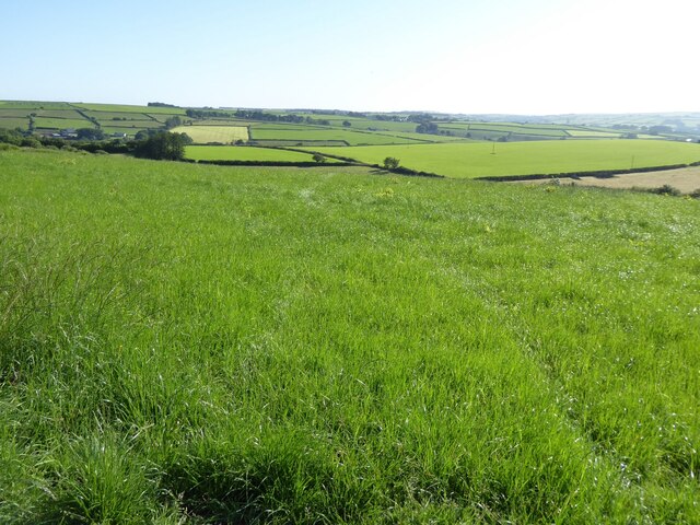
Image: © Philip Halling Taken: 16 Jul 2021
Farmland near Blaencwrt, Capel Cynon. Morning mist is hanging in the low-lying valley in the distance.
Images are licensed for reuse under creativecommons.org/licenses/by-sa/2.0
Image Location


Leaflet Map data © OpenStreetMap
Latitude
52.128791
Longitude
-4.337841