Elmwood Avenue
Introduction
The photograph on this page of Elmwood Avenue by Richard Sutcliffe as part of the Geograph project.
The Geograph project started in 2005 with the aim of publishing, organising and preserving representative images for every square kilometre of Great Britain, Ireland and the Isle of Man.

There are currently over 7.5m images from over 14,400 individuals and you can help contribute to the project by visiting https://www.geograph.org.uk
Elmwood Avenue
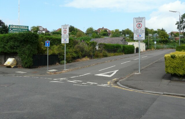
Image: © Richard Sutcliffe Taken: 12 Jul 2021
Elmwood Avenue leads to Broomhill Primary School and is a designated pedestrian and cycle zone on Mondays to Fridays from 8.30am-9.15am and 2.30pm-3.15pm.
Images are licensed for reuse under creativecommons.org/licenses/by-sa/2.0
Image Location
Latitude
55.87968
Longitude
-4.323298