Lane to Upton Cross
Introduction
The photograph on this page of Lane to Upton Cross by Trevor Rickard as part of the Geograph project.
The Geograph project started in 2005 with the aim of publishing, organising and preserving representative images for every square kilometre of Great Britain, Ireland and the Isle of Man.

There are currently over 7.5m images from over 14,400 individuals and you can help contribute to the project by visiting https://www.geograph.org.uk
Lane to Upton Cross
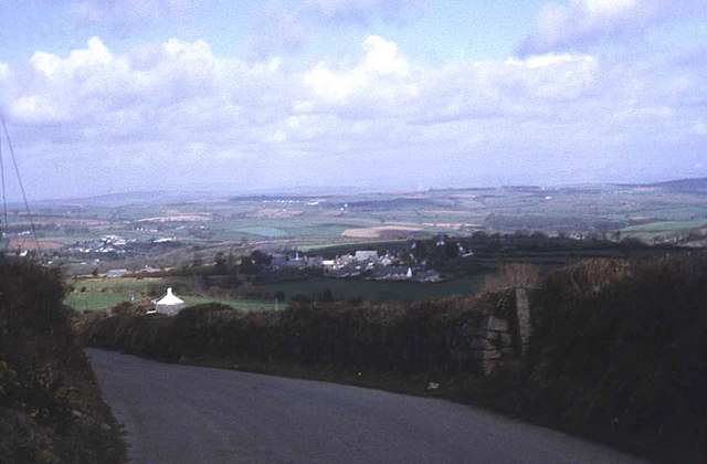
Image: © Trevor Rickard Taken: Unknown
View eastwards as the lane descends from Minions. Upton Cross village is just below and Rilla Mill village is in the valley to the left. Expansive views across the Lynher valley from here.
Images are licensed for reuse under creativecommons.org/licenses/by-sa/2.0
Image Location
Latitude
50.521419
Longitude
-4.429447