Wardley Wombles flower bed
Introduction
The photograph on this page of Wardley Wombles flower bed by Oliver Dixon as part of the Geograph project.
The Geograph project started in 2005 with the aim of publishing, organising and preserving representative images for every square kilometre of Great Britain, Ireland and the Isle of Man.

There are currently over 7.5m images from over 14,400 individuals and you can help contribute to the project by visiting https://www.geograph.org.uk
Wardley Wombles flower bed
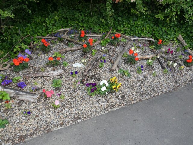
Image: © Oliver Dixon Taken: 14 Jul 2021
One of three flower beds being cultivated by the Wardley Wombles on the Bowes Railway Path where it crosses Lingey Lane.
Images are licensed for reuse under creativecommons.org/licenses/by-sa/2.0
Image Location
Latitude
54.941243
Longitude
-1.534495