Fairmeadows Way, Hazel Road estate
Introduction
The photograph on this page of Fairmeadows Way, Hazel Road estate by Richard Vince as part of the Geograph project.
The Geograph project started in 2005 with the aim of publishing, organising and preserving representative images for every square kilometre of Great Britain, Ireland and the Isle of Man.

There are currently over 7.5m images from over 14,400 individuals and you can help contribute to the project by visiting https://www.geograph.org.uk
Fairmeadows Way, Hazel Road estate
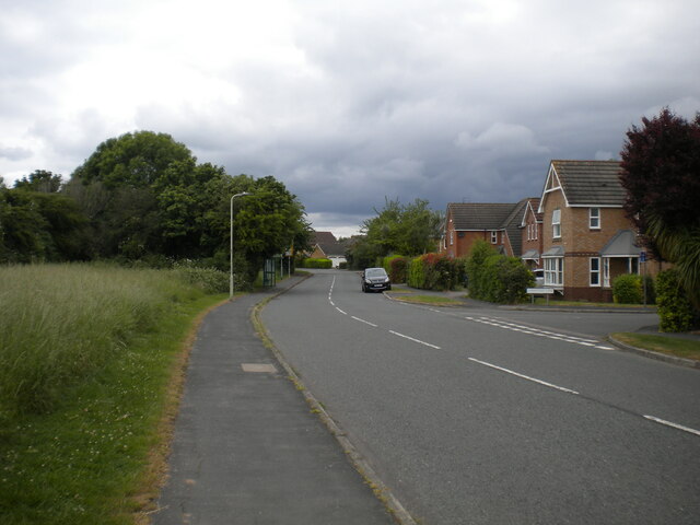
Image: © Richard Vince Taken: 19 Jun 2021
At its junction with Lemontree Lane (right), where it forms the edge of the built up area of Loughborough.
Images are licensed for reuse under creativecommons.org/licenses/by-sa/2.0
Image Location
Latitude
52.748921
Longitude
-1.215222