Chester-le-Street: Bethel United Reformed Church
Introduction
The photograph on this page of Chester-le-Street: Bethel United Reformed Church by John Sutton as part of the Geograph project.
The Geograph project started in 2005 with the aim of publishing, organising and preserving representative images for every square kilometre of Great Britain, Ireland and the Isle of Man.

There are currently over 7.5m images from over 14,400 individuals and you can help contribute to the project by visiting https://www.geograph.org.uk
Chester-le-Street: Bethel United Reformed Church
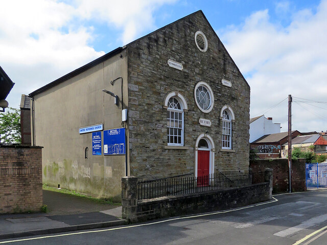
Image: © John Sutton Taken: 14 Jul 2021
The building, on Low Chare, was remodelled in 1860.
Images are licensed for reuse under creativecommons.org/licenses/by-sa/2.0
Image Location
Latitude
54.856553
Longitude
-1.573166