Long Eaton Sea Scouts hut
Introduction
The photograph on this page of Long Eaton Sea Scouts hut by David Lally as part of the Geograph project.
The Geograph project started in 2005 with the aim of publishing, organising and preserving representative images for every square kilometre of Great Britain, Ireland and the Isle of Man.

There are currently over 7.5m images from over 14,400 individuals and you can help contribute to the project by visiting https://www.geograph.org.uk
Long Eaton Sea Scouts hut
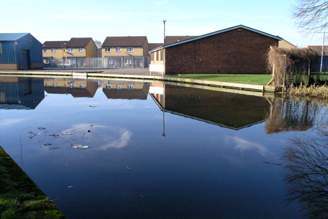
Image: © David Lally Taken: 10 Feb 2008
This group may be housed far from the sea, but they do have navigable water nearby. They used to have a boat moored here, but in that last year or so that seems to have been disposed of.
Images are licensed for reuse under creativecommons.org/licenses/by-sa/2.0
Image Location
Latitude
52.889757
Longitude
-1.281051