Old Saint Mary's
Introduction
The photograph on this page of Old Saint Mary's by Gerald England as part of the Geograph project.
The Geograph project started in 2005 with the aim of publishing, organising and preserving representative images for every square kilometre of Great Britain, Ireland and the Isle of Man.

There are currently over 7.5m images from over 14,400 individuals and you can help contribute to the project by visiting https://www.geograph.org.uk
Old Saint Mary's
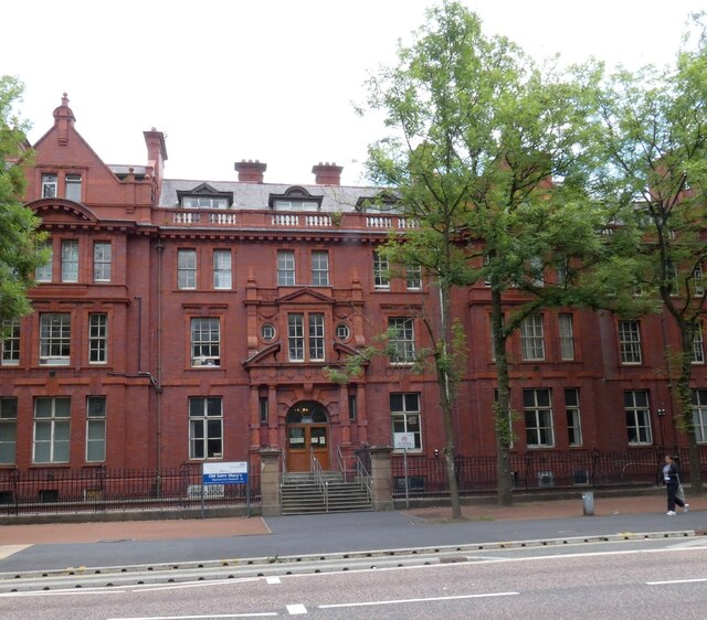
Image: © Gerald England Taken: 10 Jul 2021
The Grade II listed building by John Ely, 1909 https://historicengland.org.uk/listing/the-list/list-entry/1246550 has a long red brick and terracotta frontage divided into three by gabled bays and framed by octagonal-domed towers. St Mary's hospital had been established in 1790 by Charles White. It moved here to the corner of Oxford Road and Hathersage Road in 1909. Image Now it is a centre for reproductive medicine within the Central Manchester University Hospitals NHS Foundation Trust.
Images are licensed for reuse under creativecommons.org/licenses/by-sa/2.0
Image Location
Latitude
53.459542
Longitude
-2.22753