Toll Bar Cottage
Introduction
The photograph on this page of Toll Bar Cottage by Richard Croft as part of the Geograph project.
The Geograph project started in 2005 with the aim of publishing, organising and preserving representative images for every square kilometre of Great Britain, Ireland and the Isle of Man.

There are currently over 7.5m images from over 14,400 individuals and you can help contribute to the project by visiting https://www.geograph.org.uk
Toll Bar Cottage
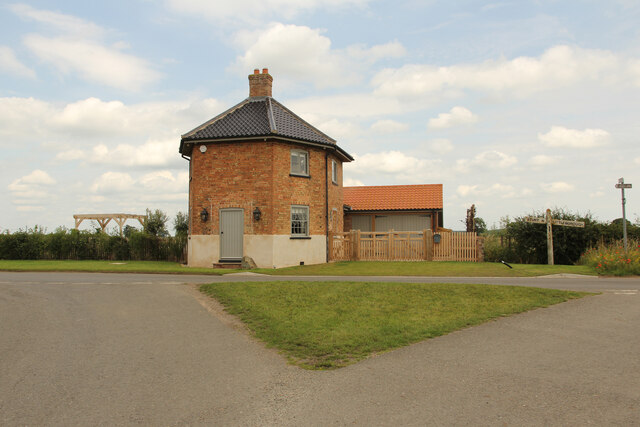
Image: © Richard Croft Taken: 9 Jul 2021
Grade II listed former toll house on Lttleborough Lane, lovingly restored and adapted in recent years by new owners http://www.geograph.org.uk/photo/530964
Images are licensed for reuse under creativecommons.org/licenses/by-sa/2.0
Image Location


Leaflet Map data © OpenStreetMap
Latitude
53.338269
Longitude
-0.777767