Cut Bench Mark near Gainsborough Bridge
Introduction
The photograph on this page of Cut Bench Mark near Gainsborough Bridge by Brian Westlake as part of the Geograph project.
The Geograph project started in 2005 with the aim of publishing, organising and preserving representative images for every square kilometre of Great Britain, Ireland and the Isle of Man.

There are currently over 7.5m images from over 14,400 individuals and you can help contribute to the project by visiting https://www.geograph.org.uk
Cut Bench Mark near Gainsborough Bridge
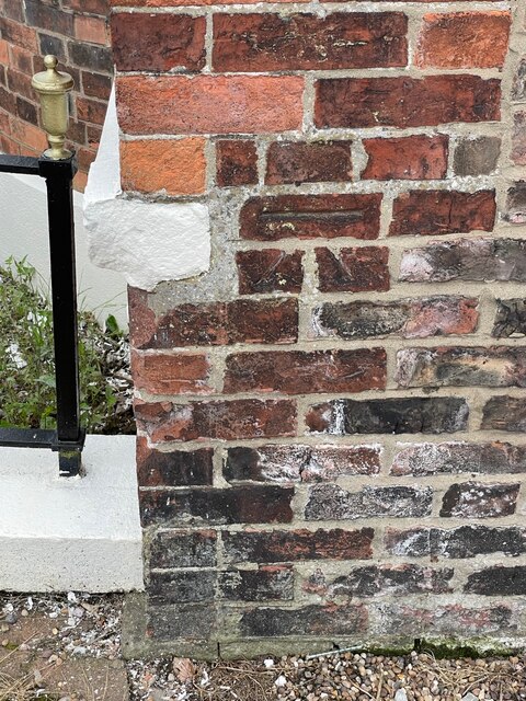
Image: © Brian Westlake Taken: 8 Jul 2021
This cut bench mark dates from the mid nineteenth century First Geodetic Levelling of England Wales and is a mark on the London to Doncaster levelling line. See https://www.geograph.org.uk/photo/6897559 for a wider view and https://www.bench-marks.org.uk/bm30201 for details of the mark.
Images are licensed for reuse under creativecommons.org/licenses/by-sa/2.0
Image Location
Latitude
53.392271
Longitude
-0.775469