Weir Lane, Barker's Green
Introduction
The photograph on this page of Weir Lane, Barker's Green by Stephen McKay as part of the Geograph project.
The Geograph project started in 2005 with the aim of publishing, organising and preserving representative images for every square kilometre of Great Britain, Ireland and the Isle of Man.

There are currently over 7.5m images from over 14,400 individuals and you can help contribute to the project by visiting https://www.geograph.org.uk
Weir Lane, Barker's Green
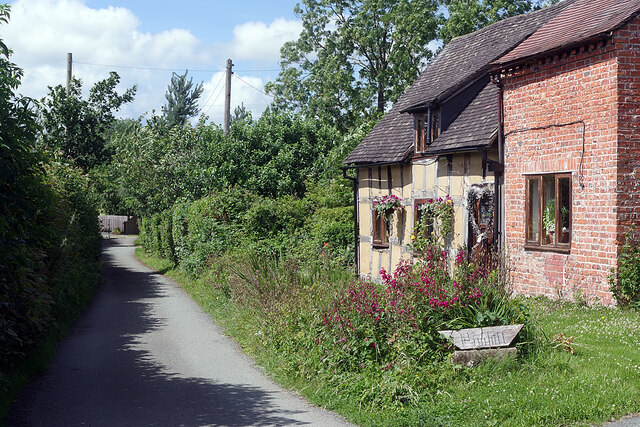
Image: © Stephen McKay Taken: 6 Jul 2021
Weir Lane leads north-west of Barker's Green serving a handful of cottages before petering out by the River Roden. There may once have been a ford but, if so, there is no sign of it now, although a footbridge gives a route into Wem for pedestrians. The cottage in this view is called Pinhill.
Images are licensed for reuse under creativecommons.org/licenses/by-sa/2.0
Image Location
Latitude
52.851069
Longitude
-2.70887