View of High and Middle Horsleyhope Farms from the lane
Introduction
The photograph on this page of View of High and Middle Horsleyhope Farms from the lane by Robert Graham as part of the Geograph project.
The Geograph project started in 2005 with the aim of publishing, organising and preserving representative images for every square kilometre of Great Britain, Ireland and the Isle of Man.

There are currently over 7.5m images from over 14,400 individuals and you can help contribute to the project by visiting https://www.geograph.org.uk
View of High and Middle Horsleyhope Farms from the lane
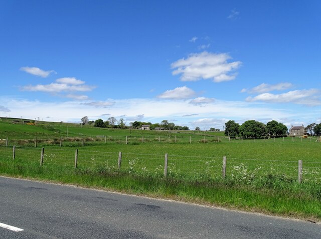
Image: © Robert Graham Taken: 4 Jun 2021
Two of the three Horsleyhopes, in a line down the road. Although close together, the main part of these farms was the common grazing on the moor to the west for their sheep.
Images are licensed for reuse under creativecommons.org/licenses/by-sa/2.0
Image Location
Latitude
54.821232
Longitude
-1.907679