Road to Toddbrook Reservoir
Introduction
The photograph on this page of Road to Toddbrook Reservoir by Mr Red as part of the Geograph project.
The Geograph project started in 2005 with the aim of publishing, organising and preserving representative images for every square kilometre of Great Britain, Ireland and the Isle of Man.

There are currently over 7.5m images from over 14,400 individuals and you can help contribute to the project by visiting https://www.geograph.org.uk
Road to Toddbrook Reservoir
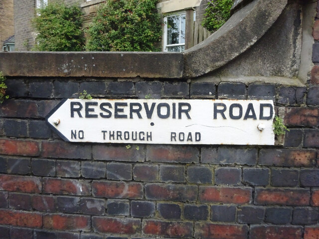
Image: © Mr Red Taken: 25 Jun 2021
On the corner of Whaley Lane and Reservoir Road. Old style road sign with "No through road" warning.
Images are licensed for reuse under creativecommons.org/licenses/by-sa/2.0
Image Location
Latitude
53.329631
Longitude
-1.984916