Bloxholm Lane and the Manor House, Bracebridge Heath
Introduction
The photograph on this page of Bloxholm Lane and the Manor House, Bracebridge Heath by Jonathan Thacker as part of the Geograph project.
The Geograph project started in 2005 with the aim of publishing, organising and preserving representative images for every square kilometre of Great Britain, Ireland and the Isle of Man.

There are currently over 7.5m images from over 14,400 individuals and you can help contribute to the project by visiting https://www.geograph.org.uk
Bloxholm Lane and the Manor House, Bracebridge Heath
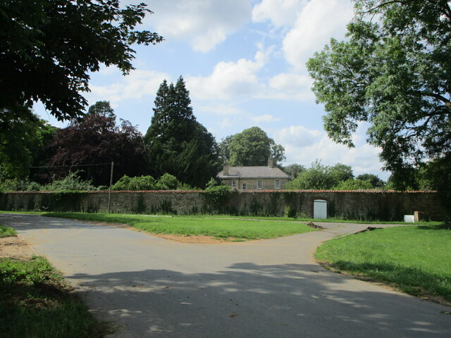
Image: © Jonathan Thacker Taken: 9 Jul 2021
Bloxholm Lane at this point is now reduced to being a cyclepath/footpath. The Manor House dates from the early nineteenth century and is listed https://historicengland.org.uk/listing/the-list/list-entry/1205031
Images are licensed for reuse under creativecommons.org/licenses/by-sa/2.0
Image Location


Leaflet Map data © OpenStreetMap
Latitude
53.18931
Longitude
-0.523226