Wollaton Village Tennis Club
Introduction
The photograph on this page of Wollaton Village Tennis Club by Stephen McKay as part of the Geograph project.
The Geograph project started in 2005 with the aim of publishing, organising and preserving representative images for every square kilometre of Great Britain, Ireland and the Isle of Man.

There are currently over 7.5m images from over 14,400 individuals and you can help contribute to the project by visiting https://www.geograph.org.uk
Wollaton Village Tennis Club
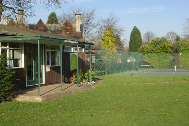
Image: © Stephen McKay Taken: 10 Feb 2008
Local long-established tennis club with three courts sandwiched between Wollaton Road and the cricket field. The clubhouse, although flimsy in appearance, dates back to the early 1960s.
Images are licensed for reuse under creativecommons.org/licenses/by-sa/2.0
Image Location
Latitude
52.954118
Longitude
-1.223422