Bedford basin, Bridgewater canal, Leigh
Introduction
The photograph on this page of Bedford basin, Bridgewater canal, Leigh by Christine Johnstone as part of the Geograph project.
The Geograph project started in 2005 with the aim of publishing, organising and preserving representative images for every square kilometre of Great Britain, Ireland and the Isle of Man.

There are currently over 7.5m images from over 14,400 individuals and you can help contribute to the project by visiting https://www.geograph.org.uk
Bedford basin, Bridgewater canal, Leigh
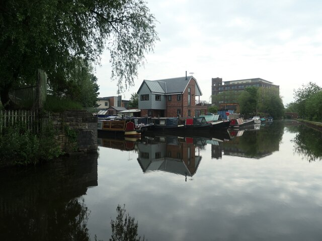
Image: © Christine Johnstone Taken: 29 May 2021
Bedford basin was created between 1845 and 1890. Coal was transhipped onto barges here, from a mineral line running south from Atherton collieries.
Images are licensed for reuse under creativecommons.org/licenses/by-sa/2.0
Image Location
Latitude
53.492904
Longitude
-2.512733