The site of Chesterfield Central Station
Introduction
The photograph on this page of The site of Chesterfield Central Station by Alan Murray-Rust as part of the Geograph project.
The Geograph project started in 2005 with the aim of publishing, organising and preserving representative images for every square kilometre of Great Britain, Ireland and the Isle of Man.

There are currently over 7.5m images from over 14,400 individuals and you can help contribute to the project by visiting https://www.geograph.org.uk
The site of Chesterfield Central Station
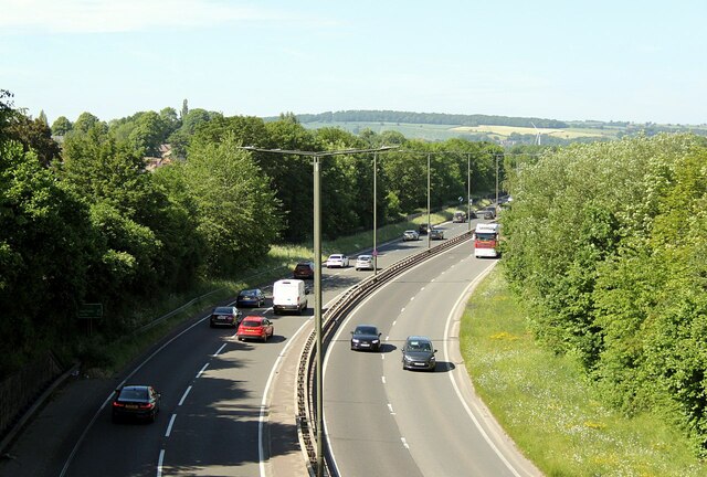
Image: © Alan Murray-Rust Taken: 15 Jun 2021
The course of the former Great Central Railway loop line through Chesterfield was adapted to form the upgraded A61 in the late 20th century. The station closed to passengers in 1963, although freight facilities continued until 1967. Tree growth obscures the fact that this is in the middle of an urban area.
Images are licensed for reuse under creativecommons.org/licenses/by-sa/2.0
Image Location
Latitude
53.239673
Longitude
-1.423542