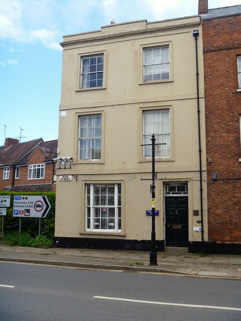
Tewkesbury houses [60]
Introduction
The photograph on this page of Tewkesbury houses [60] by Michael Dibb as part of the Geograph project.
The Geograph project started in 2005 with the aim of publishing, organising and preserving representative images for every square kilometre of Great Britain, Ireland and the Isle of Man.
There are currently over 7.5m images from over 14,400 individuals and you can help contribute to the project by visiting https://www.geograph.org.uk

Image: © Michael Dibb Taken: 18 May 2021
Number 69 High Street is a house at the end of a row, built circa 1830s, and now used as offices. Constructed in rendered brick under a slate roof. https://historicengland.org.uk/listing/the-list/list-entry/1201258 The market town of Tewkesbury is sited at the confluence of the River Severn and the River Avon, some 9 miles north of Gloucester, close to the border with Worcestershire. Founded in Saxon times, the town thrived and there are many medieval and Tudor buildings including Tewkesbury Abbey, bought by the townspeople to use as their parish church. One of the decisive battles of the Wars of the Roses was the Battle of Tewkesbury, which took place on 4 May 1471.

