Shorton Road
Introduction
The photograph on this page of Shorton Road by Derek Harper as part of the Geograph project.
The Geograph project started in 2005 with the aim of publishing, organising and preserving representative images for every square kilometre of Great Britain, Ireland and the Isle of Man.

There are currently over 7.5m images from over 14,400 individuals and you can help contribute to the project by visiting https://www.geograph.org.uk
Shorton Road
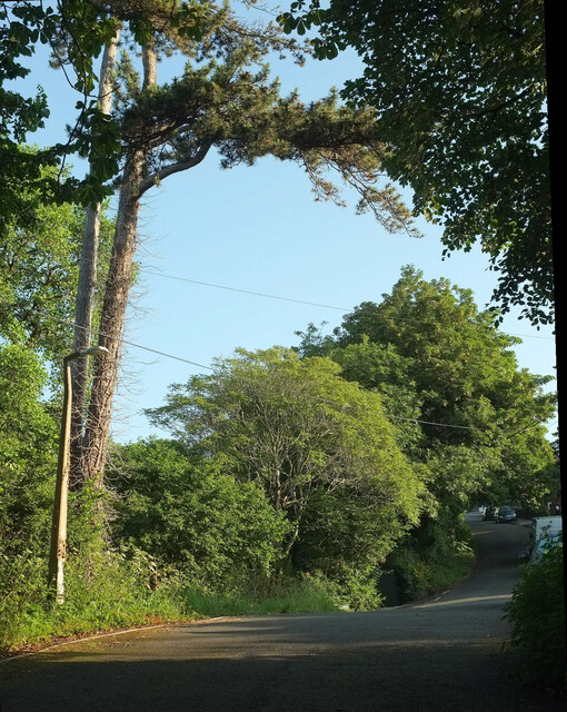
Image: © Derek Harper Taken: 2 Jul 2021
At the junction with Sleepy Lane. The two roads form two sides of the triangle referred to at Image "In Shorton the presence of natural woodland cover, and other mature trees including specimens in private grounds engenders a feeling of seclusion, distinct from the otherwise overwhelming urban influence" https://www.torbay.gov.uk/media/7585/shorton-caa.pdf .
Images are licensed for reuse under creativecommons.org/licenses/by-sa/2.0
Image Location
Latitude
50.448137
Longitude
-3.576728