74 Upper Bar, Newport
Introduction
The photograph on this page of 74 Upper Bar, Newport by Richard Law as part of the Geograph project.
The Geograph project started in 2005 with the aim of publishing, organising and preserving representative images for every square kilometre of Great Britain, Ireland and the Isle of Man.

There are currently over 7.5m images from over 14,400 individuals and you can help contribute to the project by visiting https://www.geograph.org.uk
74 Upper Bar, Newport
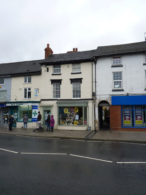
Image: © Richard Law Taken: 9 Apr 2021
Another early 19th century town house, converted more recently on the ground floor to retail use. It was Grade II listed https://britishlistedbuildings.co.uk/101054343-74-upper-bar-newport#.YONyZehKjIU & https://historicengland.org.uk/listing/the-list/list-entry/1054343 in 1978.
Images are licensed for reuse under creativecommons.org/licenses/by-sa/2.0
Image Location
Latitude
52.766845
Longitude
-2.377115