Southam Road, Ladbroke
Introduction
The photograph on this page of Southam Road, Ladbroke by Stephen McKay as part of the Geograph project.
The Geograph project started in 2005 with the aim of publishing, organising and preserving representative images for every square kilometre of Great Britain, Ireland and the Isle of Man.

There are currently over 7.5m images from over 14,400 individuals and you can help contribute to the project by visiting https://www.geograph.org.uk
Southam Road, Ladbroke
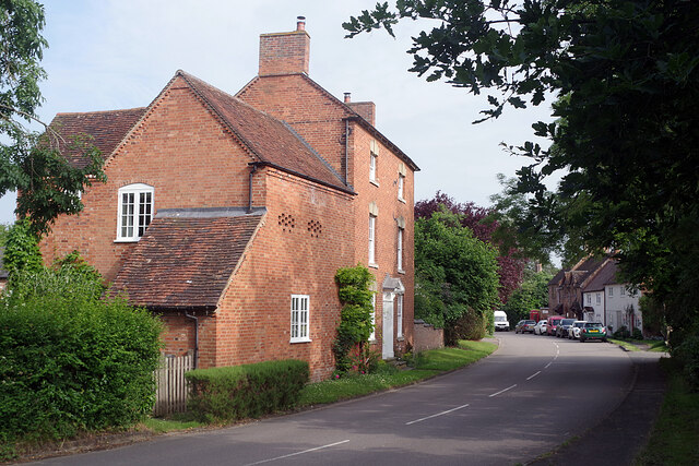
Image: © Stephen McKay Taken: 1 Jul 2021
Until the village was by-passed in 1985, this was part of the A423 between Southam and Banbury. The large house on the left, called 'High House', dates from the late 18th century and is grade II listed; the extension is a former coach house.
Images are licensed for reuse under creativecommons.org/licenses/by-sa/2.0
Image Location
Latitude
52.22763
Longitude
-1.390908